Monitoring global models for next week
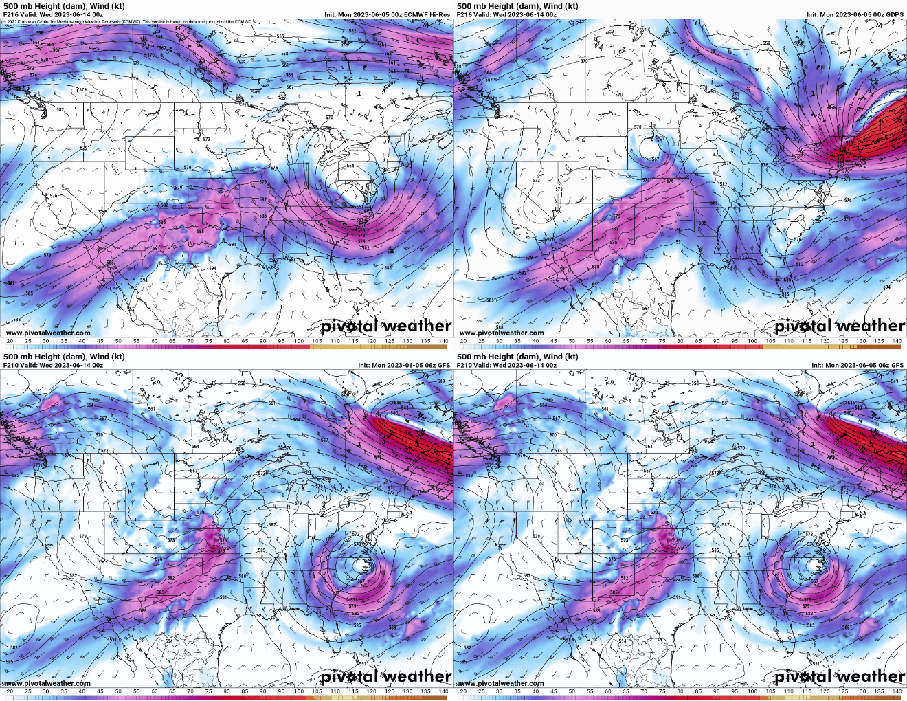
The forecasting team is keeping a close eye on the global models, particularly next week from the 11th of June to the 16th. Models are providing indications of a developing trough during this time period in the Central United States and Southern Great Plains. Due to the variability in these model outputs, final decisions for deployment will be made closer to the end of this week.


